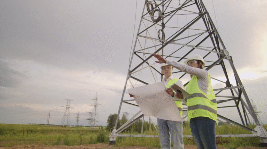
Managing the vegetation surrounding power lines is a massive challenge for electric utilities. Trees and thick brush grow constantly, closing the gap between limbs and live wires. When clearances are breached, the consequences for grid stability are immediate. According to Electrical Contractor, nearly 25% (about one quarter) of all power outages in the U.S. are directly caused by vegetation interference with distribution lines. To prevent these disruptions, grid operators must select the right tools to analyze encroachment risks.
Modern utility vegetation management relies heavily on remote sensing technologies. Comparing LiDAR, aerial photography, and satellite data helps utilities determine the best approach for keeping their corridors clear and reliable.
Satellite Imagery: Broad Regional Overviews
Satellite data excels at providing large-scale, frequent monitoring over thousands of miles. Because satellites orbit the Earth continuously, they offer regular updates on vegetation health, drought stress, and broad canopy changes.
However, satellite data has distinct limitations when it comes to specific encroachment analysis. While it can estimate broad growth areas, it lacks the horizontal and vertical precision needed to measure the exact distance between a conductor and a tree branch. Satellite imagery also cannot see beneath dense, overlapping canopies. It frequently flags low-risk zones or misses hidden threats entirely, making it an incomplete standalone solution for critical line-of-sight risk analysis.
Aerial Photography: Visual Baseline Mapping
Fixed-wing aircraft and drones capturing high-resolution aerial imagery provide a much clearer view of the right-of-way than standard satellites. Aerial surveys deliver excellent 2D data, allowing teams to spot dead trees, canopy overhangs, and general distribution line conditions.
The primary drawback of standard aerial data is its lack of true structural depth. It creates flat visual maps rather than three-dimensional models. Without depth, engineers cannot simulate how high winds will cause a wire to swing or how a tree might fall during a heavy storm. It provides a helpful visual baseline but falls short of delivering survey-grade structural metrics.
LiDAR: Precision 3D Structural Modeling
Light Detection and Ranging (LiDAR) represents the gold standard for analyzing encroachment. By firing millions of laser pulses per second, LiDAR penetrates dense canopies to capture a full vertical profile of the corridor. It measures the exact distance from treetops to the ground level, building an accurate 3D model of overhead conductors and poles.
Utilities use LiDAR to calculate exact grow-in and fall-in risks under varying weather and loading conditions. This eliminates the subjectivity of traditional manual field surveys. The highly detailed data satisfies strict regulatory compliance standards, providing verifiable, timestamped clearance measurements that protect against liability.
Combining Technologies for Smarter Workflows
The most cost-effective strategy does not rely on just one technology. At EMPACT Engineering, we utilize our EMPACT Vegetation Insights (EVI) solution to fuse multiple sources of remote sensing data. By pairing the wide-area tracking of satellites with the surgical 3D precision of LiDAR, utilities get the best of both worlds when it comes to visibility.
Satellites act as an ongoing filter to monitor large regions and track changes. When a high-risk zone is flagged, targeted LiDAR data pinpoints the structural changes and growth. This data-driven approach allows utilities to prioritize feeders needing immediate attention, leading to smarter contractor bidding and optimized maintenance budgeting.
Optimize Your Grid with Utility Vegetation Management
A proactive approach to right-of-way maintenance keeps your network running efficiently. Our team at EMPACT Engineering provides the advanced geospatial analytics, software solutions, and engineering support needed to transform complex environmental data into actionable insights. We help you move away from fixed trim cycles and embrace an intelligent, data-driven methodology that reduces operational costs and enhances grid reliability. Contact us today to discover how our EMPACT Vegetation Insights solution can elevate your utility vegetation management system.